UK Thunderstorms and Flooding Risk: Yellow Warnings Remain
Met Office yellow warnings for thunderstorms remain in force across parts of the UK, with heavy rain bringing flash flooding and travel disruption.
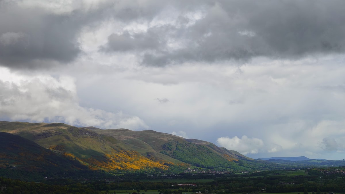
UK thunderstorms are set to hammer large parts of England and Wales again on Wednesday, with yellow weather warnings still active as forecasters track the risk of flash flooding and travel chaos.
The Met Office warning, which runs until 22:00 BST, was amended this morning to cover northern and eastern Wales, north-west England, the Midlands, and portions of eastern and southern England. After a morning of cloud and patchy rain, sunny spells are expected to develop. Then, during the afternoon, scattered thundery downpours will start to spring up seemingly from nowhere.
The numbers behind the threat are stark. Some locations could see 20-30mm of rain fall within a single hour, with isolated spots potentially accumulating 40-50mm over a few hours. That is a serious amount of water in a short window, especially for ground that has baked hard through weeks of dry weather.
Flash flooding risk after dry spell
The problem isn't just the volume of rain, but where it lands. Hard, compacted ground struggles to absorb sudden downpours, and that is precisely the situation across much of the warning zone, so the water has nowhere to go but rushing across the surface, pooling in low spots, and overwhelming drains that were never designed for this kind of sustained assault. Flash flooding becomes a real concern in these conditions. Expect difficult driving, and some roads might close entirely. But that's the reality we're facing. It's a dangerous mix.
Large hail and frequent lightning add another layer of danger. The hit-and-miss nature of these storms means some places will dodge the worst of it entirely, while others just a few miles away could face torrents of water.
Northern Ireland will see some showers, though they're less intense and carry less thunder. But much of Scotland stays dry with sunny spells, so that's the good news for most of the day. The south-west could see a few showers later on, arriving as the afternoon wears on and conditions begin to change. It's a mixed picture. And for now, that's the forecast.
Thursday brings another round
This is not a one-day event. Another yellow warning is already in place for Thursday, valid from 06:00 until 22:00 BST, with more thunderstorms expected to sweep across England and Wales.
Widespread rainfall totals of 20-30mm are forecast within three hours in the warning area, with some spots potentially seeing 50mm in the same timeframe. There is even a small chance that eastern-facing hills, exposed to easterly winds, could record 75mm over 12 hours. That would bring major flood risk.
Gusty winds may accompany the storms, particularly in southern England on Thursday morning. That's a real hazard. And the showers could eventually drift into southern Scotland and Northern Ireland, though they are likely to weaken as they push northwards, so don't expect much bite from them by the time they arrive.
Hailstones of 1-2cm could accompany Thursday's downpours, along with thunder and lightning.
Wettest weather in weeks for some
For parts of southern England, this week's rain could be the most significant in a long time. The statistics are striking. Brize Norton in Oxfordshire has recorded just 0.4mm of rain so far this August, less than 1% of its normal monthly total. July brought only 1mm there.
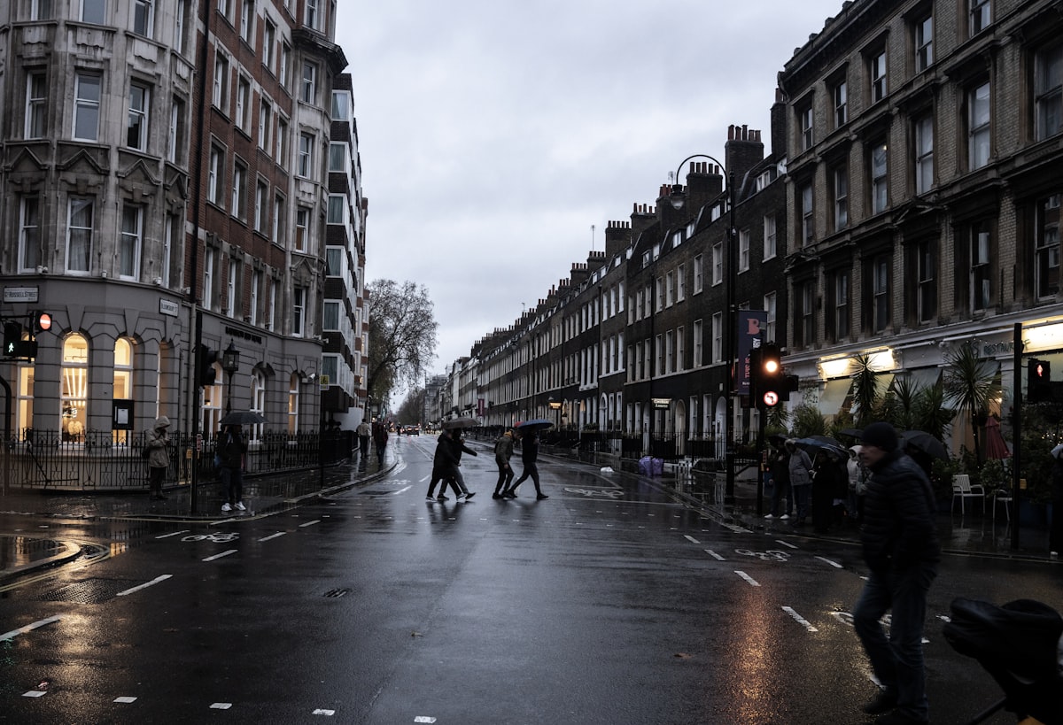
Kew Gardens recorded no rain at all in July. It has seen just 1.8mm so far this month. Against that backdrop, the expected downpours will far outstrip anything that has fallen recently in these areas.
That is the irony of this forecast. A region desperate for moisture is about to get it all at once, in violent bursts that the ground cannot absorb.
Why your weather app may miss the storm
Thunderstorms are stubbornly local beasts. They're a forecaster's nightmare. We've got the broad picture, sure: warm, humid air across the UK is colliding with colder air pushing in from the west at higher altitudes, generating low pressure and instability, so conditions are clearly ripe for trouble. But pinning down the exact street, the precise hour, the moment that first crack splits the sky? That's the hard part. It's a frustrating reality. Forecasters know the ingredients are there, yet the storm itself remains a wild card, refusing to be tied to a simple map.
But the computer models that drive weather apps struggle to pinpoint exactly where and when the biggest storms will erupt. It's a gamble. Think of it like heating popcorn kernels in a pan, where the heat spreads unevenly and each kernel reacts to its own tiny pocket of moisture and pressure. You can't know precisely which kernels will pop, in what order, or which ones might not pop at all. So we're left guessing.
Some storms will also develop overnight. That means they won't appear in the daily weather icons. So if you've got outdoor plans, the advice is to check the hourly symbols and the percentage chances of rain instead of leaning on a single daily forecast, because that one number can't capture the full picture of what might roll in after dark. But don't skip the check entirely. It's a simple step that could save your afternoon.
Some places can see flooding downpours while others, perhaps only a few miles away, avoid the heaviest rain and stay essentially dry.
The warnings cover a large swathe of the country. But here's the real kicker: thunderstorm forecasting can't tell you if your specific street stays dry while the next town over gets deluged, because the atmosphere's chaos means the risk is genuine for everyone, yet the chance you see nothing at all is just as real, and that uncertainty cuts both ways. It's a gamble.
Keep an eye on the sky, and keep an eye on the radar. Slow down. If you're driving when one of these storms hits, the roads will be slick, visibility will drop, and standing water can hide deeper problems, so it's important to ease off the gas and give yourself extra room. But don't think you're safe just because the rain's light. That's when the real danger sneaks up.
Wednesday's warning expires at 22:00 BST. But Thursday's takes over at 06:00, so for many areas this could be the wettest spell in weeks, with the ground hard and the rain coming down fast, and that makes the risk of flooding genuine. It's real.
Frequently Asked Questions
What is the duration of the yellow weather warning for UK thunderstorms on Wednesday?
The yellow weather warning for UK thunderstorms on Wednesday runs until 22:00 BST. It was amended this morning to cover northern and eastern Wales, north-west England, the Midlands, and portions of eastern and southern England.
Why are flash floods a particular concern given the recent weather?
Flash flooding is a concern because the ground has baked hard through weeks of dry weather, making it compacted and unable to absorb sudden downpours. The article states that hard, compacted ground struggles to absorb rain, causing water to rush across the surface and overwhelm drains, leading to flash flooding.
How much rainfall could some locations see in an hour during the storms?
Some locations could see 20-30mm of rain fall within a single hour, with isolated spots potentially accumulating 40-50mm over a few hours. This is described as a serious amount of water in a short window.
When is the yellow warning for Thursday's thunderstorms in effect?
The yellow warning for Thursday is valid from 06:00 until 22:00 BST. It is already in place with more thunderstorms expected to sweep across England and Wales.
Why might a weather app fail to predict the exact location of a thunderstorm?
The computer models that drive weather apps struggle to pinpoint exactly where and when the biggest storms will erupt because thunderstorms are stubbornly local and the atmosphere's chaos makes precise prediction difficult. The article compares it to heating popcorn kernels, where you can't know exactly which will pop, and notes that some storms develop overnight and won't appear in daily weather icons.

Astrid Berg covers space and astronomy, from missions and launches to the science of the universe. She follows the ongoing effort to explore beyond our planet.
💬 Comments (0)
No comments yet. Be the first!