LatConnect 60 and Phi Earth Partner to Connect Space and Soil
LatConnect 60 and Phi Earth partner to bridge satellite Earth Observation with field data for nature-based projects, starting with biomass and regenerative agriculture.

LatConnect 60 and Phi Earth Partner to
Connect Space and Soil
Two worlds have long operated in silos. LatConnect 60 and Phi Earth have announced a strategic partnership that aims to stitch together what satellites see from orbit with what field teams actually measure on the ground, an integration long overdue. And now the Australian Earth intelligence company is joining forces with Phi Earth Technologies. They're combining satellite Earth Observation with validated field intelligence for nature-based projects. So it's a direct link between the sky and the soil.
The core of the collaboration is straightforward. LatConnect 60’s Earth Observation capabilities will feed into Phi Earth’s audit-ready digital Monitoring, Reporting and Verification platform, known as dMRV, which means every data point can be traced and verified with confidence. Together, they want to build what they call an Earth Observation-enabled Digital Twin. That's a continuous feedback loop, combining space-derived intelligence with ground-truthed data, so it strengthens both operational decisions and environmental reporting. So the loop never stops. But it's the integration that makes it work.
Why the disconnect matters
Nature-based projects are generating more environmental data than ever before. Satellites map landscapes from above while field teams document what is actually happening at soil level, and that gap between aerial perspective and ground truth is where the trouble begins. Yet these two streams rarely talk to each other. So the result is fragmented information that limits value for project developers, investors and carbon markets, and it's a waste we can't afford.
This partnership is designed to fix that gap. It's a direct link between space-based observations and on the ground field validation, which means the companies can support projects from early planning through ongoing monitoring without losing sight of the bigger picture. So project developers, landowners, and ecosystem partners get better operational intelligence throughout the entire lifecycle, not just after the fact. That's the real payoff. But they're getting it continuously, at every stage, as conditions shift and evolve.
Ground truth improves space data
There's a feedback mechanism built into the arrangement. It's a two-way street. As projects progress, field observations continuously validate the satellite-derived insights, and that validation improves the quality of Earth intelligence while also delivering more actionable operational data on the ground. So the loop keeps tightening.
“The value of good data isn’t simply in collecting it. It’s in helping people make better decisions,” said Stewart Gunnery, CEO of Phi Earth Technologies. “By connecting what satellites can see with what we’re measuring on the ground, we can build a much clearer picture of how nature-based projects are performing. That helps project developers operate more effectively while giving investors and stakeholders greater confidence in the environmental outcomes we’re all working towards.”
Gunnery's framing cuts to the heart of the matter. Data collection has never been the bottleneck. The bottleneck is interpretation and application, and that's where the real friction lives, because raw numbers don't speak for themselves and they can't tell you what to do next without a human or a model forcing them into context. A satellite image of a biomass field tells you something. But without ground validation, you're guessing at what it means. So it's not about gathering more; it's about knowing what you've got.
First projects in Malaysia and Australia
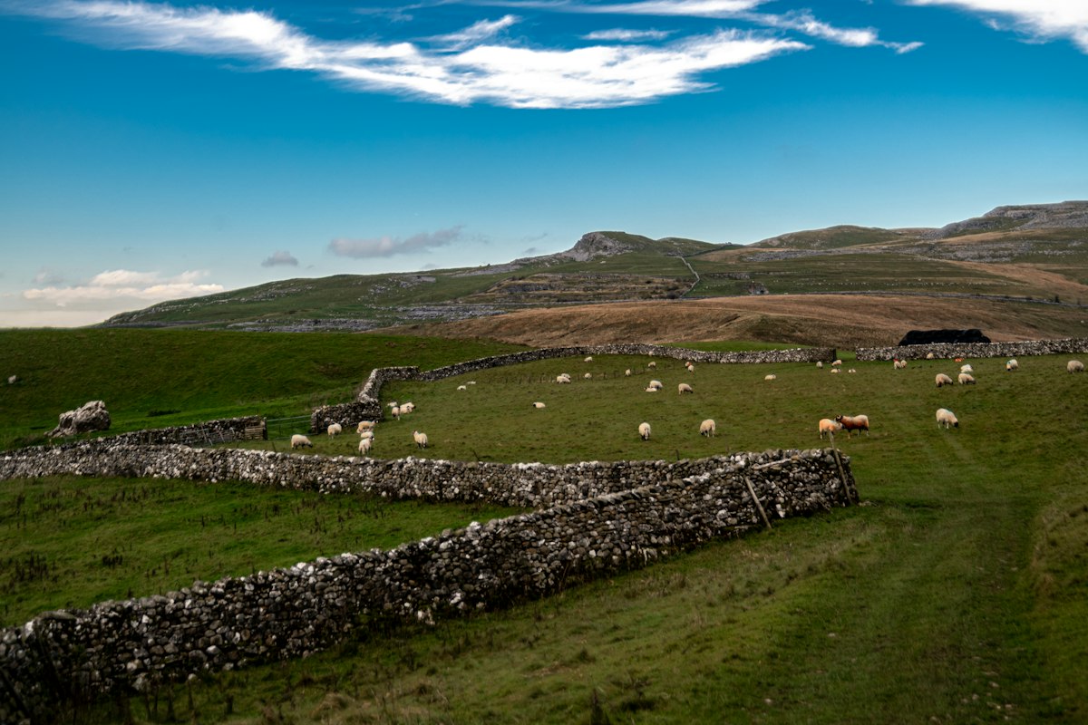
The collaboration will initially support projects in Malaysia and Australia, focusing on biomass and regenerative agriculture, and it's clear these early efforts are just the starting point. Napier grass, sweet sorghum, and agave are among the first applications. That's a bold move. These crops represent a deliberate expansion into diverse environments, moving beyond traditional agricultural monitoring, so they're testing what works where the old methods can't reach.
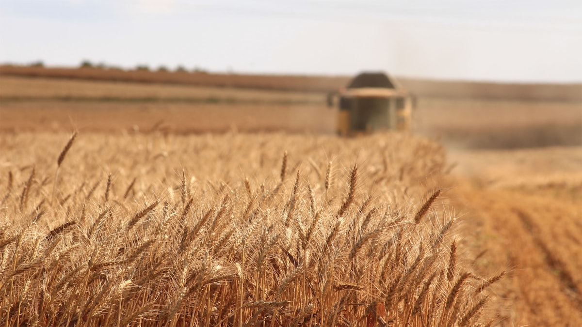
That diversity serves both companies. It's a real win-win. For LatConnect 60, it's a chance to demonstrate Earth Observation capabilities across a broader range of biomass systems, which lets them show off their tech in settings they haven't fully explored before. But for Phi Earth, it provides richer ground-truth data to strengthen its digital platform across different operating environments, and that kind of real-world validation is hard to beat. So both sides walk away with something valuable.
What the CEO of LC60 says
Venkat Pillay, CEO and Founder of LC60, sees this as proof of concept in real-world conditions. It's proof that works. We're excited to see our Earth Observation capabilities supporting real projects in the field, and that's where Earth intelligence proves its value, Pillay said, and working with Phi Earth allows us to demonstrate how our data can strengthen digital MRV while expanding into new biomass crops and nature-based applications. So we want to show the market how satellite-based Earth Observation can help deliver practical outcomes for project developers, landowners and the broader climate economy. That's the goal.
The real test isn't whether the technology works. It's whether the market adopts it at scale, and that's a far messier, slower, and more human problem than any engineering challenge, because people, incentives, and trust don't bend to a clean schematic. Carbon markets are demanding more transparency and verifiability every year, pushing projects to prove their impact with data that can't be fudged or hidden, and that pressure keeps building. So digital infrastructure is becoming as important as the projects themselves. But that shift changes everything. It's a different game now.
The satellites behind the data
LatConnect 60’s SWIRSAT constellation captures ultra-high-resolution Short Wave Infra Red imagery. It's precise. These unique datasets will drive the insights behind nature-based projects, and they're built on a spectrum that measures biomass growth, biomass moisture, and carbon sequestration with remarkable accuracy. But the SWIR band doesn't just collect data; it delivers exactly the metrics those projects need to report, so stakeholders can trust every number. Don't underestimate that clarity.
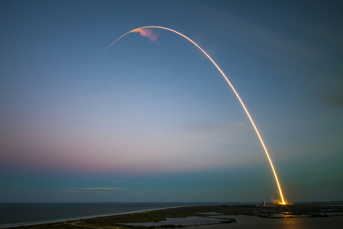
The roadmap is ambitious. It's a bold bet on the future. Two SWIRSATs are scheduled to launch in Q1 2027, and by 2029 they'll be part of an 18-satellite constellation that will stretch across the sky. But the program doesn't stand alone, so it's got backing from the Australian Space Agency and the Government of Western Australia. That support matters. That's real weight behind it.
- Napier grass, sweet sorghum and agave are the initial crop applications
- Two SWIRSAT launches planned for Q1 2027
- Full 18-satellite constellation targeted for 2029
- Projects starting in Malaysia and Australia
This partnership is a bet on convergence. Space companies need ground data to prove their satellites matter, while ground teams need satellite coverage to scale their monitoring, and neither layer works as well in isolation. But LatConnect 60 and Phi Earth are betting that connecting these two creates more value than either could deliver alone. It's that simple.
For investors and stakeholders, the promise is greater confidence in environmental outcomes, a sharper lens on what actually happens on the ground. But it doesn't stop there. For project developers, it means better operational decisions throughout the entire project lifecycle, from initial site assessment to long-term monitoring and verification, so they can act on real data instead of guesswork. And for the broader climate economy, it's a stronger digital foundation for regenerative agriculture, biomass, and high-integrity carbon projects. The stakes are clear. Yet the payoff is real.
Will execution deliver? That remains the open question for this partnership. But the direction couldn't be clearer, because the future of nature-based projects now hinges on connecting space and soil, and we can't keep treating those two domains as if they're separate silos anymore.
Frequently Asked Questions
What is the core purpose of the partnership between LatConnect 60 and Phi Earth?
They are combining satellite Earth Observation with validated field intelligence for nature-based projects, creating a direct link between the sky and the soil. The integration aims to feed LatConnect 60's Earth Observation capabilities into Phi Earth's audit-ready digital Monitoring, Reporting and Verification platform (dMRV), ensuring every data point is traceable and verified.
Why is the integration between space-based and ground-based data considered important?
The article states that nature-based projects generate environmental data from both satellites and field teams, but these streams rarely talk to each other, resulting in fragmented information that limits value for project developers, investors, and carbon markets. The partnership is designed to fix this gap by linking space-based observations with on-the-ground field validation, supporting projects from planning to ongoing monitoring.
How does the feedback mechanism between ground truth and satellite data work?
The arrangement is a two-way street: as projects progress, field observations continuously validate satellite-derived insights, which improves the quality of Earth intelligence while also delivering more actionable operational data on the ground. This creates a continuous feedback loop that strengthens both operational decisions and environmental reporting.
When are the first two SWIRSAT satellites scheduled to launch, and what is the target for the full constellation?
The first two SWIRSATs are scheduled to launch in Q1 2027, and by 2029 they will be part of an 18-satellite constellation. The program has backing from the Australian Space Agency and the Government of Western Australia.
Who are the key people quoted in the article, and what are their roles?
Stewart Gunnery, CEO of Phi Earth Technologies, and Venkat Pillay, CEO and Founder of LC60, are quoted. Gunnery emphasizes the value of data in helping people make better decisions, while Pillay sees the partnership as proof of concept in real-world conditions, demonstrating how Earth Observation can strengthen digital MRV and support practical outcomes.

Astrid Berg covers space and astronomy, from missions and launches to the science of the universe. She follows the ongoing effort to explore beyond our planet.
💬 Comments (0)
No comments yet. Be the first!