AI Satellites Transform Wildfire Detection
New satellites and AI cameras are helping firefighters detect blazes early, potentially stopping them before they spread.
AI Satellites Spot Wildfires Before They Spread
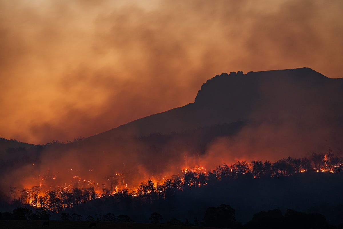
AI satellites are changing how firefighters catch blazes early. This summer in Spokane, Washington, the Old Trails fire proved a brutal point: when a fire is spotted can matter as much as where it starts. A blaze found within minutes can often be contained. Wait too long, and a small spark becomes a disaster.
That timeline got shorter in July. A SpaceX rocket carried the first three FireSat satellites into orbit. They form the initial piece of a planned network of 50 satellites built solely to detect wildfires while they are still small enough to stop. The goal is simple. Catch fires before they become headlines.
Filling the Blind Spots
Existing weather and Earth-observing satellites can track large fires, but they have limits. Many lack the resolution to see small blazes. Others revisit the same spot too infrequently, meaning that by the time their sensors finally catch a flicker, the flames have often already grown into an inferno that's racing across the landscape. So by the time they spot a fire, it's often already out of control. That's the real problem. But it doesn't have to be that way.
FireSat is designed differently. The system can detect fires as small as a beach bonfire. Once the full constellation is deployed, it will scan every point on Earth roughly every 20 minutes.
The satellites use infrared sensors and artificial intelligence to hunt for heat signatures that could signal a new wildfire. It's a clever trick. The AI compares fresh images with earlier ones, then accounts for weather conditions and nearby heat sources before sending alerts to emergency responders, and that's where the real work happens. But the aim is simple. They're trying to identify real fires while cutting down on false alarms, so responders don't waste time chasing smoke that isn't there. That matters.
The AI algorithms run continuously on that imagery, scanning for a simple answer, a binary call of smoke or not smoke. Arvind Satyam, co-founder of Pano AI, said it plainly. At night, we're looking at heat signatures. Heat versus cold, that's the whole game. But then we're able to zoom in and validate that it's a potential fire start, confirming the signal before anyone rolls a truck.
Pano AI has planted more than 1,400 cameras across 17 states, and these ground-based units scan the landscape from towers and mountain tops, so they're always watching. Artificial intelligence reviews every image, hunting for smoke in daylight and heat after dark. But it doesn't blink.
Cameras on the Ground
High in the mountains west of Denver, two technicians recently climbed a 150ft cell tower to inspect a pair of wildfire-detection cameras. “There are two Pano AI cameras,” Satyam said. “They’re sitting on top of that cell tower.”
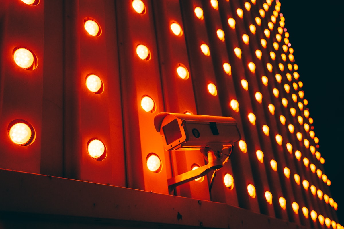
The system spots a possible fire. Then a human analyst reviews the images before any alert goes out to fire agencies, a process that typically takes just a few minutes but can feel like an eternity when every second counts. Firefighters say that head start can change everything. So they don't take it lightly.
It's a great tool to validate what's going on," said Brendan Finnegan, assistant chief with West Metro fire rescue near Denver. Having those eyes that can alert us well in advance of potentially a 911 call make it a valuable tool for us, and that early warning gives our crews the precious time they need to prepare and respond effectively. But it's really about those eyes. They see what we can't. So we've got a partner that never sleeps, watching the horizon for trouble before anyone even picks up the phone.
California has built one of the largest camera networks in the country through Alert California. It's a staggering system, more than 1,200 cameras strong, and Cal Fire depends on them every single day. Chief Phillip SeLegue stood before a wall of live feeds in one of the agency's control centers. He pointed to the display. But the real power isn't the hardware, it's the way those feeds let commanders spot a wisp of smoke in a remote canyon before any 911 call ever comes in, giving them precious minutes to move crews and engines before a spark becomes a firestorm. That's the whole point.
“This is all of our cameras.”
SeLegue says the system now catches about half of all wildfires before anyone even dials 911. That's a huge shift. But consider this: one recent fire near Fresno was spotted roughly twenty minutes before the first emergency call even reached a dispatcher, a head start that let firefighters roll out fast and choke the blaze before it could balloon into something far worse. They stopped it cold.
SeLegue put it plainly. At Cal Fire, one of our missions is to suppress 95% of our fires at 10 acres or less, and this system helps us accomplish that goal. So we trust it enough that when we receive that detection, we're already starting the process of sending resources to it. It's that simple.
Why Speed Matters More Than Ever
Wildfires have become one of the most destructive natural disasters in the United States. It's getting worse. Rising temperatures, prolonged drought and more frequent stretches of hot, dry and windy weather have made fires easier to ignite and harder to contain, and that combination is rewriting the rules of the landscape we live in. So Climate Central reports that some parts of the western United States now experience about two more months of fire weather each year than they did in the 1970s. That's a staggering shift. We can't ignore it.
Ground cameras can only see the landscapes in front of them. That's a real limit. AI satellites, however, can watch vast stretches of remote forests, mountains and grasslands where there are no cameras and often no people to report a fire, so they're filling a massive blind spot that ground-based systems simply can't reach. But the two systems are designed to work together, and combined, they give firefighters a faster and more complete picture of where fires are starting. That's the whole point.
The real measure of success is not how many fires are detected. It is how many fires people never hear about at all.
The Fires You Never See
A fire detected quickly and extinguished while still small rarely attracts attention. That is exactly the outcome firefighters are working toward.
“The fires that this system has helped us dispatch resources to are the fires you don’t read about in the papers,” SeLegue said. “The ones you don’t see.”
The technology is still early. Only three FireSat satellites are in orbit so far. But the combination of space-based AI satellites and ground cameras is already reshaping how fire agencies respond. Instead of waiting for a panicked 911 call, they can move before the smoke is even visible from the nearest town.
For the people on the front lines, that is the difference between a contained incident and a catastrophe.
Frequently Asked Questions
What is the primary purpose of the FireSat satellite network?
The primary purpose is to detect wildfires while they are still small enough to stop, catching fires before they become headlines. The goal is to fill blind spots that existing weather and Earth-observing satellites have.
How does the FireSat system detect potential wildfires?
The satellites use infrared sensors and artificial intelligence to hunt for heat signatures that could signal a new wildfire. The AI compares fresh images with earlier ones, then accounts for weather conditions and nearby heat sources before sending alerts to emergency responders.
Why are ground cameras limited, and how do AI satellites complement them?
Ground cameras can only see the landscapes in front of them, so they have a real limit. AI satellites can watch vast stretches of remote forests, mountains, and grasslands where there are no cameras and often no people to report a fire, filling a massive blind spot that ground-based systems can't reach.
What role do human analysts play in the wildfire detection process?
When a possible fire is spotted, a human analyst reviews the images before any alert goes out to fire agencies. This process typically takes just a few minutes but helps validate that it's a potential fire start, confirming the signal before responders roll a truck.
Who is benefiting from the early detection provided by these systems, and how?
Firefighters benefit because the early warning gives their crews precious time to prepare and respond effectively. For example, Cal Fire trusts the system enough that when they receive a detection, they already start the process of sending resources to it, helping them suppress 95% of fires at 10 acres or less.
Victor Holm reports on science and discovery, with a particular interest in physics, biology and the questions that drive research forward. He looks for the wonder in how the world works.
💬 Comments (0)
No comments yet. Be the first!