Google-Backed FireSat satellites Launch
The first three FireSat satellites launched on July 7, 2026, aiming to detect small wildfires from orbit.
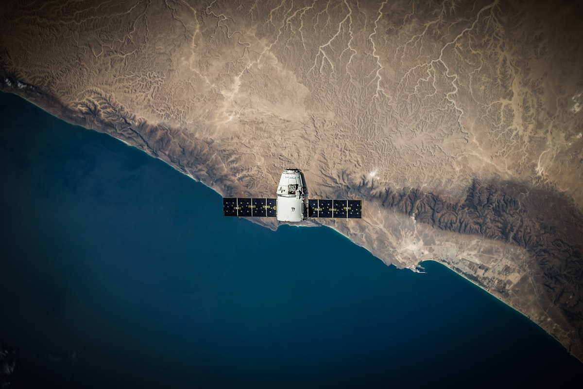
They're in orbit. FireSat satellites backed by Google have officially launched, offering a new tool to detect wildfires from space as smoke continues to choke cities across Canada and the United States. The launch of the three microsatellites aboard a SpaceX Falcon 9 rocket took place at Vandenberg Space Force Base in California on July 7, 2026. But this deployment marks a transition to initial operational capability for the satellite constellation, which is managed by a nonprofit called the Earth Fire Alliance.
The timing is critical. But this summer, smoke from hundreds of active wildfires in Canada has spread across the continent, exposing over 100 million people to hazardous air pollution. Traditional methods are falling short. They're forcing thousands of people in First Nations communities to flee fast-moving fires, so the newly launched hardware aims to solve a major blind spot by finding small, low-intensity fires before they grow into uncontrollable disasters.
The mechanics of spaceborne wildfire detection
How does this constellation spot fires that other spacecraft miss? It's a simple question with a sophisticated answer. The specialized payload designed by California-based satellite builder Muon Space uses multispectral imaging to see through dense smoke and heavy cloud cover, and this technology can locate a heat source as small as five by five meters, which is approximately 16 by 16 feet, right on the ground. That's precise.
The technology is already proven. A prototype satellite called the FireSat Protoflight launched in March 2025 to test the hardware. It collected more than one million images during its trial phase, demonstrating that it could successfully detect low-intensity burns that completely escaped the notice of existing orbital sensors.
A three-month testing and calibration period lies ahead. But after that, the three newly launched satellites will begin sending active data to fire agencies, and the constellation is scheduled to cover every fire-prone region on Earth at least twice a day. So early adopter organizations are already waiting to integrate this data into their workflows before the end of the year, including fire agencies in California, Colorado, Australia, and Portugal. It's a fast timeline. They can't afford delays.
Ambitious scaling plans for global coverage
The program has mapped out a multi-phase deployment schedule to increase how often the satellites scan the ground. Right now, the three initial satellites provide twice-daily coverage, but the Earth Fire Alliance plans to speed up this frequency significantly over the next few years. But that's not enough. They're aiming for scans every hour or faster. So the schedule shows a clear path: launch more satellites, boost their processing power, and coordinate them in a tight orbital dance that'll cut the gap between looks from twelve hours to just minutes per day.
- By 2029: The program aims to launch enough satellites to provide updated imagery anywhere on Earth on an hourly basis.
- By the early 2030s: The full constellation will grow to more than 50 satellites, driving the revisit rate down to once every 20 minutes.
And here's where it gets interesting. But increasing the frequency of satellite imagery could have a massive economic and environmental impact. The Earth Fire Alliance projects that even reaching an hourly scan rate could help save more than $1 billion in fire damage costs, protect 1.3 million acres of land, save 3,500 homes, and prevent nearly 22 million tons of carbon emissions from entering the atmosphere. This changes everything.
Using artificial intelligence to spot the sparks
Google Research will process the incoming data directly. But the company plans to apply its AI models to compare real-time satellite imagery against historical records, which helps the system quickly differentiate a tiny new fire from older, harmless heat signatures. They'll also use this data to improve predictive wildfire modeling.
“What is unfolding is what climate and forest scientists have been predicting for 30 years,” says Werner Kurz, a retired senior research scientist at Natural Resources Canada. “That as the world gets hotter and drier, we are exposing forests to more and more risk, and the old strategies of fire suppression are simply being overwhelmed.”
The climate contradiction of Silicon Valley hardware
But there's a catch. The rapid rollout of advanced AI models by major tech companies carries a heavy environmental price tag that is directly tied to the escalating global wildfire crisis. Training and running these massive models requires a tremendous amount of electricity. So in the United States, this surging power demand is increasingly being met by building new natural gas projects, which could collectively release more than 129 million tons of greenhouse gases annually.
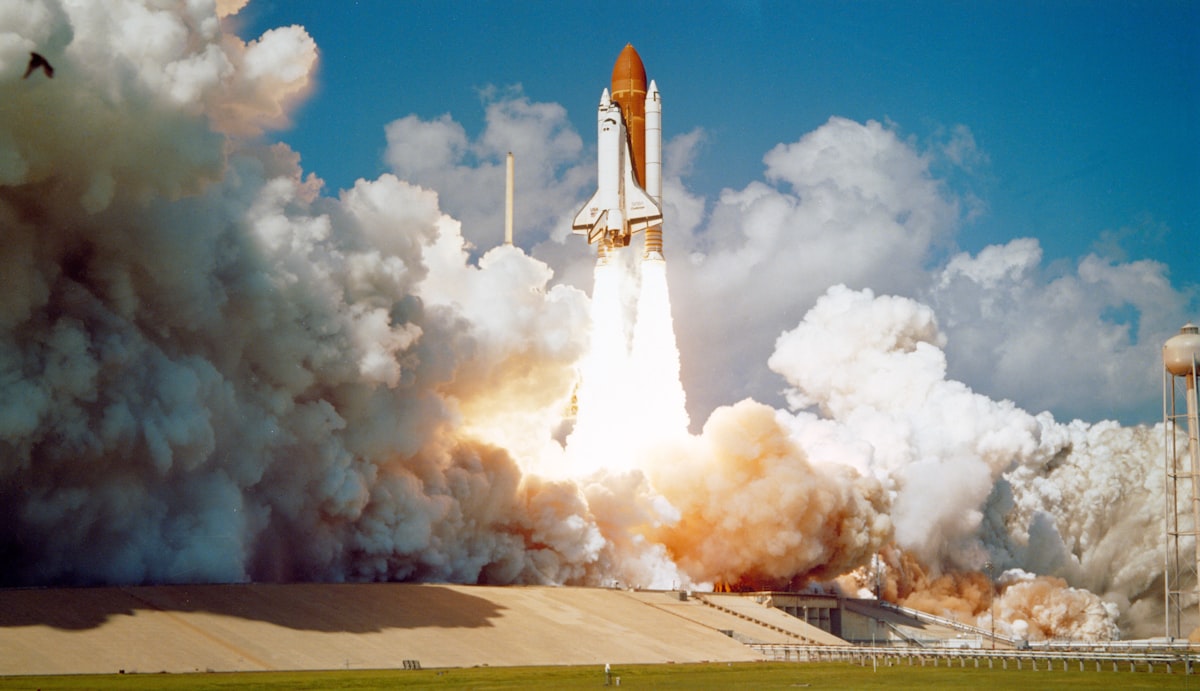
The numbers tell a different story than the green marketing. Google has openly acknowledged the difficulty of building enough clean energy infrastructure to offset the carbon footprint of its energy-hungry data centers, and it's a problem that isn't going away.
Limits of satellite data in active firefights
Let's break down what this technology can and cannot do. Real-time coordinates of a tiny five-meter fire are incredibly valuable. But data alone doesn't put out a fire. Firefighting agencies must have the personnel, equipment, and funding to act on that information, and in remote areas this requires specialized machinery that is incredibly expensive to operate and maintain.
Consider the scale of the challenge in Canada. As of July 17, the Canadian Wildland Fire Information System reported nearly 900 active wildfires across the country, with more than 3,600 fires burning over 6.6 million acres so far this year. Fighting these fires in uninhabited boreal forests requires heavy-lift helicopters and fixed-wing air tankers to drop chemical retardants or fly crews directly into remote active zones.
But local provinces must buy or contract these aircraft themselves. Resources are stretched thin. So the Canadian government had to lease 10 new aerial firefighting planes this year just to act as emergency assets for provinces in need. It's a dire situation. Because resources are so limited, fire agencies currently leave dozens of out-of-control fires to burn, choosing to monitor them rather than risk firefighters' lives trying to suppress them. The FireSat program will provide unprecedented early warnings, but the boots on the ground will still face the same resource shortages and extreme weather conditions that have made the last three fire seasons some of the worst on record.
Frequently Asked Questions
What are FireSat satellites designed to detect from space?
FireSat satellites are designed to detect small, low-intensity wildfires from space using multispectral imaging technology. This allows them to see through dense smoke and heavy cloud cover to locate a heat source as small as five by five meters on the ground, catching fires before they grow uncontrollably.
Why is the timing of the FireSat satellite launch considered critical?
The timing is critical because smoke from hundreds of active wildfires in Canada has spread across the continent, exposing over 100 million people to hazardous air pollution. Traditional detection methods are falling short, and fast-moving fires are forcing thousands of people in First Nations communities to flee.
How do the FireSat satellites spot fires that other spacecraft miss?
The satellites use a specialized multispectral imaging payload built by Muon Space to see through dense smoke and heavy cloud cover. This technology can locate a heat source as small as five by five meters, which is more precise than existing orbital sensors, as proven by the prototype FireSat Protoflight that collected over one million images and detected low-intensity burns missed by other sensors.
When will the three newly launched FireSat satellites begin sending active data to fire agencies?
After a three-month testing and calibration period, the three newly launched satellites will begin sending active data to fire agencies. Early adopter organizations, including fire agencies in California, Colorado, Australia, and Portugal, are already waiting to integrate this data into their workflows before the end of the year.
Who manages the FireSat satellite constellation?
The FireSat satellite constellation is managed by a nonprofit called the Earth Fire Alliance. The program has mapped out a multi-phase deployment schedule to increase scanning frequency, aiming for hourly coverage by 2029 and a 20-minute revisit rate by the early 2030s with a constellation of over 50 satellites.

Liam Fitzgerald reports on gadgets, apps and the companies behind them. He tests new products and cuts through the marketing to tell readers what is genuinely worth their attention.
💬 Comments (0)
No comments yet. Be the first!