Lessons from Hurricane Harvey for 2026's Forecast
NOAA forecasts fewer Atlantic hurricanes in 2026, but Hurricane Harvey's legacy shows why a quiet season is not a safe season.
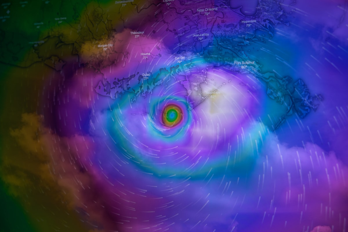
Hurricane Harvey dropped 100cm of rain on Houston in three days. That was 2017. And as the 2026 Atlantic season approaches, the forecast is already in. NOAA says it will be quieter than usual. Three to six hurricanes. The average is seven.
But that framing misses something.
A quiet season does not mean a safe one. Harvey taught us that. One storm, stalling over one city, can rewrite the damage record. So before you glance at the numbers and move on, let me unpack what the 2026 forecast actually means for you.
2026 Looks Different
NOAA dropped its seasonal outlook and the headline is simple. The Atlantic gets a breather. The Pacific does not.
Atlantic Gets a Breather
Between June and November, the agency expects three to six hurricanes. That sits below the long-term average of seven. The reason is an emerging El Niño pattern. El Niño disrupts tropical storm formation in the Atlantic. Wind shear rips systems apart before they can organize. Simple physics, big consequences.
Pacific Heats Up
The central and eastern Pacific are a different story. NOAA says both regions are likely to see above-average hurricane seasons. El Niño supports storms there. Same pattern, opposite effect. If you live on the Pacific coast or have family there, this is the year to pay attention.
Here is the quick forecast breakdown from the BBC's analysis:
- Atlantic: 3 to 6 hurricanes forecast, below the average of 7
- Central Pacific: likely above average
- Eastern Pacific: likely above average
- Driving force: El Niño strengthening over the coming months
Hurricane Harvey's Brutal Lesson
Harvey was not the strongest storm to hit the US. But it became one of the costliest. Why? It stopped moving.
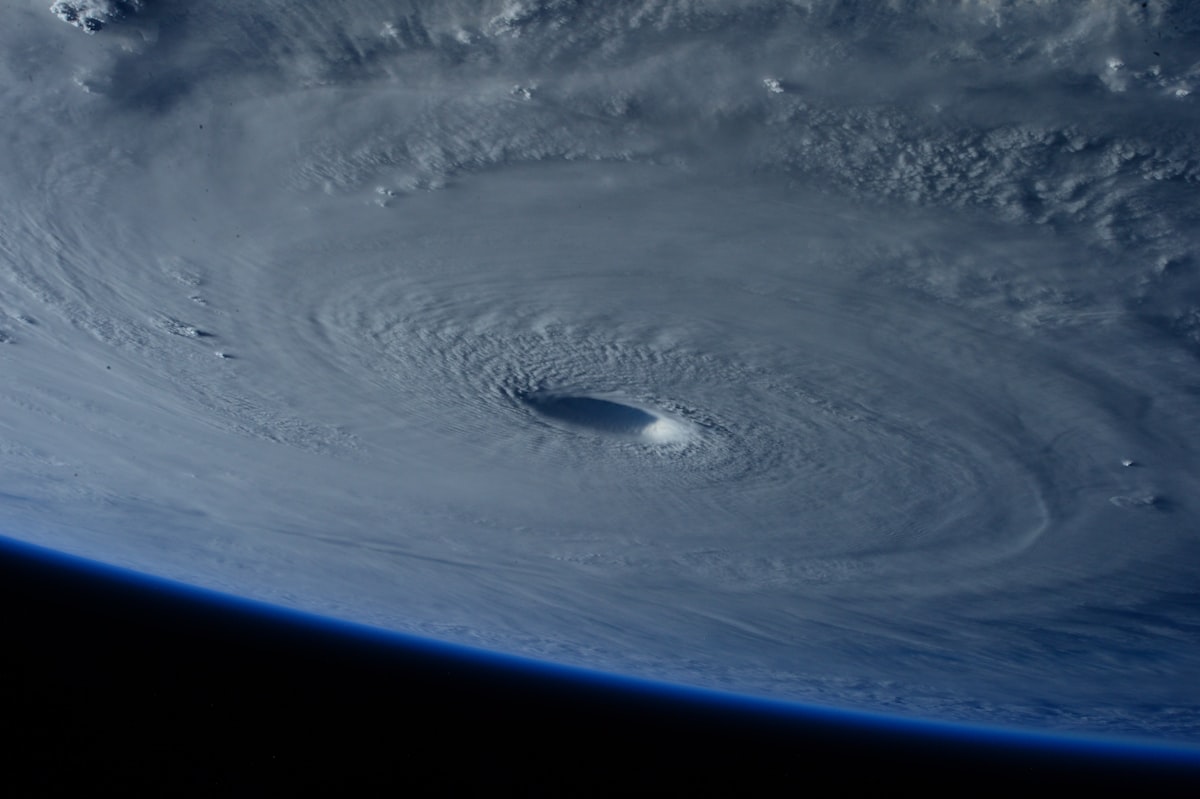
When Storms Stop Moving
Most hurricanes blow through. Harvey stalled over Houston. The result was 100cm of rain in three days. That kind of stationary behavior is not just bad luck. The IPCC has noted a slowdown in the speed at which tropical cyclones move across the Earth's surface. Slower storms dump more rain on a given location. Harvey was the poster child for this trend.
Climate change made that extreme rainfall roughly three times more likely, according to one estimate cited by the BBC. Let that sink in. Triple the odds. Not because the storm was more powerful in wind speed. Because a warmer atmosphere holds more moisture and a stalled system wrings it all out in one place.
Climate Change Isn't Adding More Storms
Here is the contradiction most people get wrong.
The total number of tropical cyclones worldwide has not gone up. In fact, the number may have fallen over the past century. The IPCC confirms this. But the proportion of storms reaching the highest intensity categories has climbed. More hurricanes are hitting category three and above. That means peak sustained winds of at least 111mph.
Warmer Water, Meaner Winds
Hurricanes feed on warm ocean water. The threshold is around 27°C at the sea surface. Above that, the engine starts spinning. Human-driven ocean warming boosted maximum wind speeds by an estimated 19mph on average for hurricanes between 2019 and 2023, according to a recent study. Nineteen miles per hour. That can be the difference between a category two and a category three. Between roof damage and a house taken off its foundation.
Quick question: does this mean every storm is now a monster? No. It means that when conditions are right, the ceiling on how bad things can get is higher.
The IPCC concludes there is "high confidence" that humans have contributed to increases in precipitation associated with tropical cyclones.
What You Should Actually Watch For
The 2026 numbers might look reassuring on paper. Fewer storms in the Atlantic. A calmer summer for the Gulf Coast. But here is the deal.
It only takes one. Hurricane Melissa hit Jamaica in October 2025 and became one of the strongest storms ever recorded. Hurricane Katrina in 2005 produced flood heights that were 15 to 60 percent higher than they would have been in 1900, thanks to sea-level rise alone. These are not hypotheticals. They are benchmarks.
The Rainfall Multiplier
Warmer air holds more water. Warmer seas feed more energy into storms. Rising sea levels give storm surges a higher launching pad. All three trends are accelerating. The IPCC projects the proportion of tropical cyclones reaching category four and five could increase by around 10 percent if global warming is capped at 1.5°C. At 2°C, that rises to 13 percent. At 4°C, it hits 20 percent.
Real talk: those percentages sound small. But applied to a single storm making landfall near a major city, the difference is measured in billions of dollars and thousands of lives.
Here is what climate change actually does to hurricanes:
- Increases peak wind speeds, adding roughly 19mph on average to recent storms
- Boosts rainfall intensity by putting more moisture in a warmer atmosphere
- Raises storm surge baseline through sea-level rise
- Does not increase the total number of storms globally
- Increases the proportion of storms reaching category three and above
So what should you do? Watch the forecast. But do not stop at the number of predicted storms. Pay attention to sea surface temperatures in the Gulf and the Caribbean. Watch for rapid intensification events, which have become more frequent in the Atlantic. And remember that Hurricane Harvey was not a category five. It was a stalled category four that sat over a city and refused to leave.
The 2026 Atlantic season may be quiet. But quiet is not the same as harmless. Harvey proved that eight years ago. The data says we should expect more Harveys, not fewer.
Frequently Asked Questions
What made Hurricane Harvey so devastating in 2017?
Harvey stalled over Texas, dumping record rainfall that caused catastrophic flooding, especially in Houston.
How can lessons from Harvey improve 2026 hurricane forecasts?
Forecasters now use better models to predict storm stalling and rainfall, aiding early warnings and evacuation planning.
What infrastructure changes resulted from Harvey?
Houston upgraded drainage systems and flood barriers, while new building codes require higher elevations in flood-prone areas.
How did Harvey affect emergency response protocols?
It led to improved coordination between agencies and the use of social media for real-time rescue requests.
What should residents do to prepare for a Harvey-like storm in 2026?
Have a family emergency plan, stock supplies for at least a week, and know your flood risk zone.

Arthur Vance writes about astronomy and space exploration, covering the discoveries that expand our view of the cosmos. He enjoys connecting distant science to the questions we ask here on Earth.
💬 Comments (0)
No comments yet. Be the first!